Skip to content
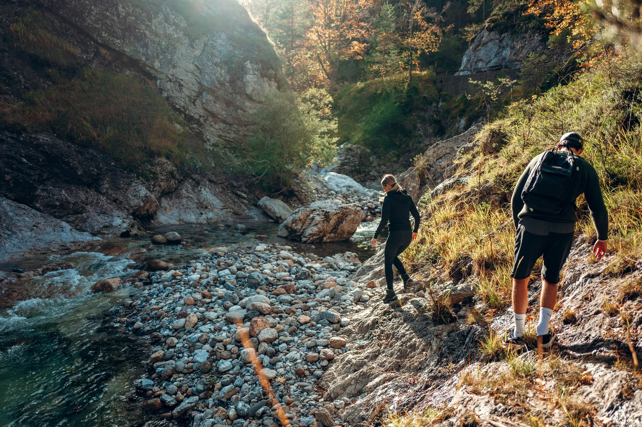
Hiking at the Kärntner Storschitz in the Geopark Karawanken in October
Ferienhaus Huber

Hiking & food stops

Hiking holidays in Southern Carinthia

From pram-friendly loops to two-thousanders, straight from our door.

The question first, then the route

A walk for every taste

Three answers instead of one long list: flat and by the water, family-friendly, or up a two-thousander. Pick the group that fits your day.

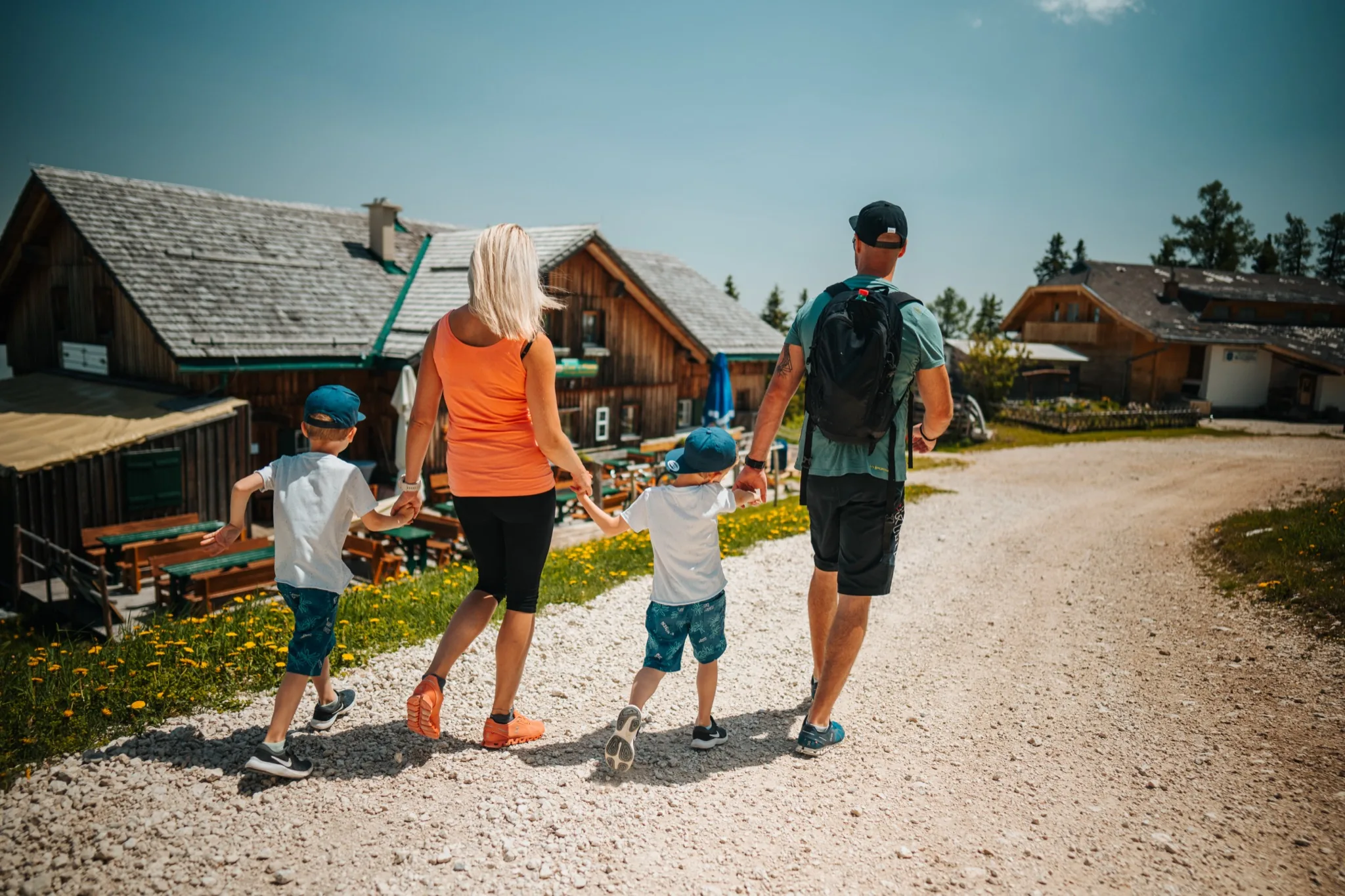
A family walking a gravel alpine track on the PetzenGo toSlow Trails
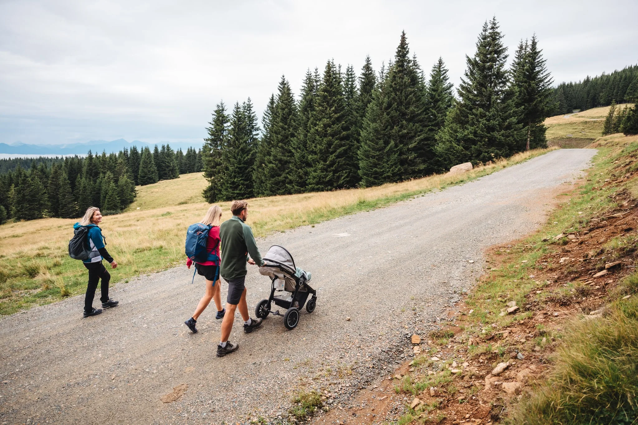
A family pushing a pram along a wide gravel path on the BrandlalmGo toFamily walks
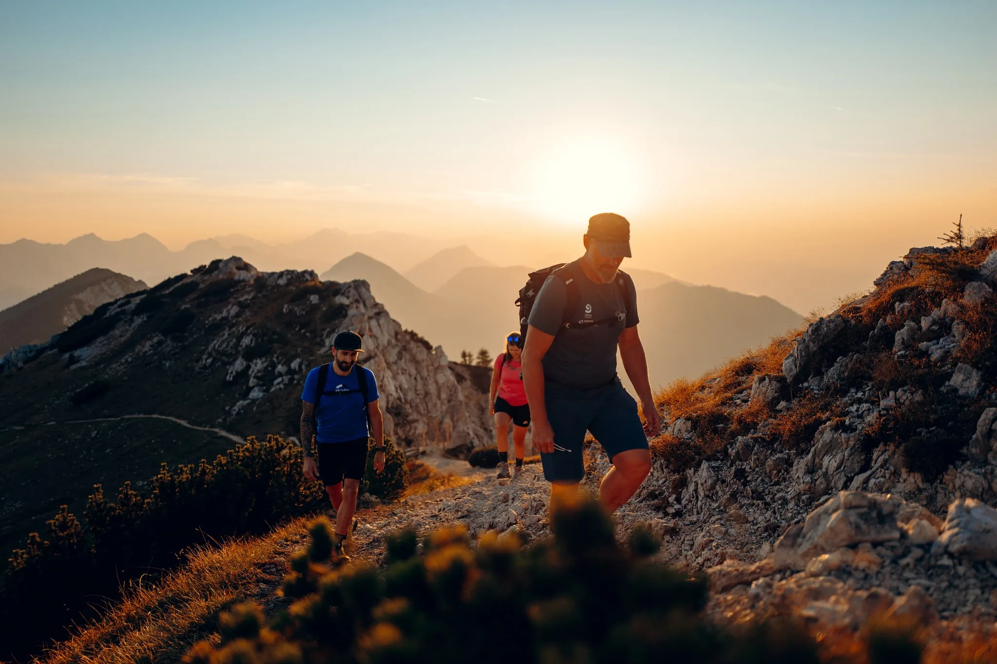
Hiking on the Hochobir above the Panoramaweg SüdalpenGo toSummit walks

Our tip: the Petzen, our local mountain

If you only do one thing, go up the Petzen. It is about 6 km to the valley station, the cable car floats you up to 1,700 m in around 15 minutes, and at the top lies a flat summit plateau with a small mountain lake. Everything starts from there: the level loop around the lake with its stations on the earth's history, the Geopark, long climbs to the Kordeschkopf or the Feistritzer Spitze. In between, the sun terrace of the panorama restaurant with a view over the Jauntal valley.

When to come

Autumn is the best walking season here

If you can choose your season, take autumn. The heat is gone, the paths are empty, and the view reaches into the Karawanken, which never works in the summer haze. In September Klopeiner See is often still warm enough for a swim while the larches are already turning up on the mountain, and the Buschenschanken are in season. By late October it is dusk at five: a short walk in the morning, a platter in the afternoon, a fire in the evening. If you are planning autumn half-term, everything else is on our autumn page.

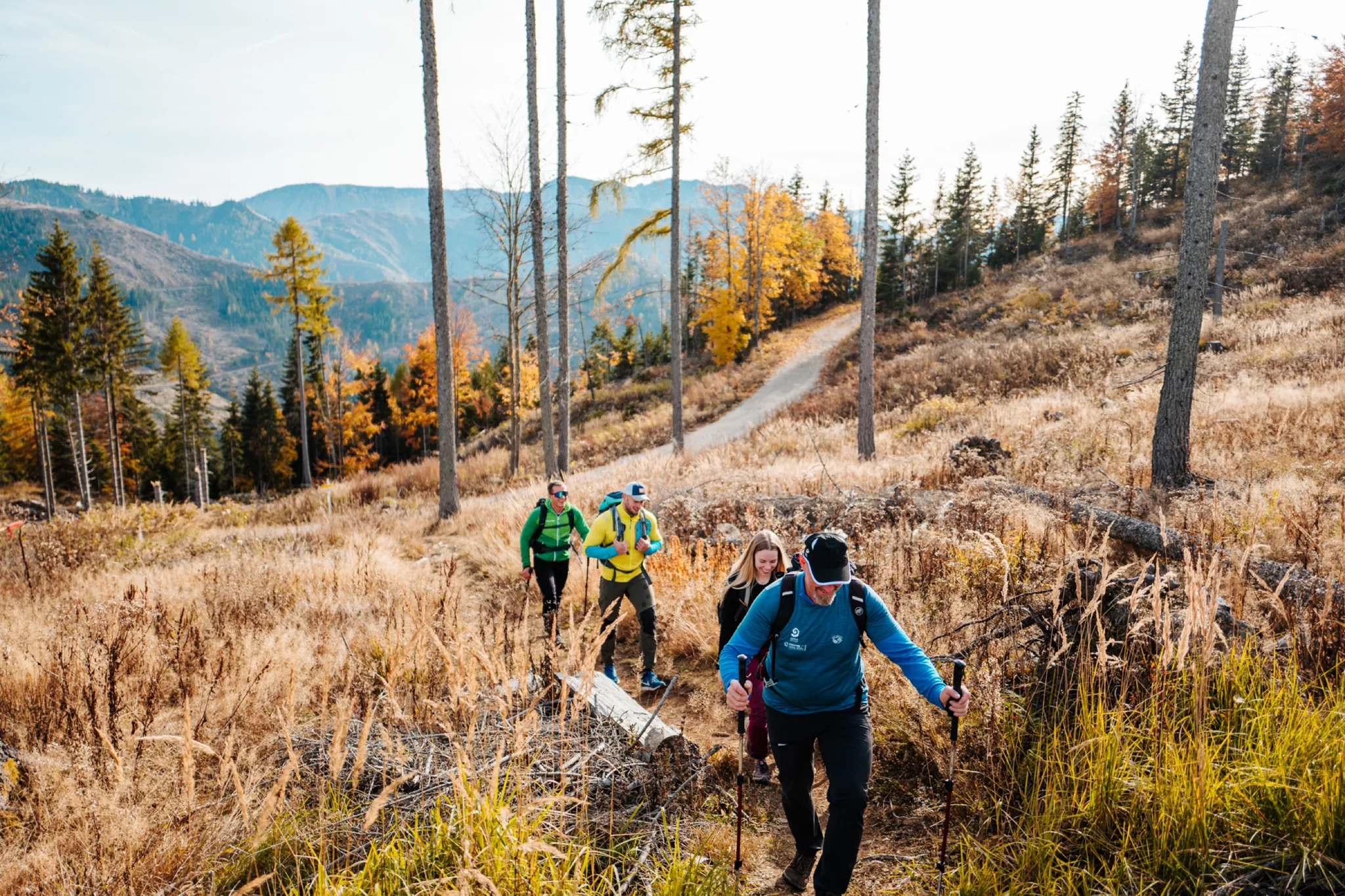
Group of hikers on an autumn path above the Jauntal valley

Slow Trails

Slow Trail is a Carinthian category with fixed rules: no more than ten kilometres, no more than 300 metres of ascent, never longer than three hours, and always along water. Two of them are here in our region. Plus two short family loops where something actually happens on the way: a 54-metre waterfall and a lake to wade into.

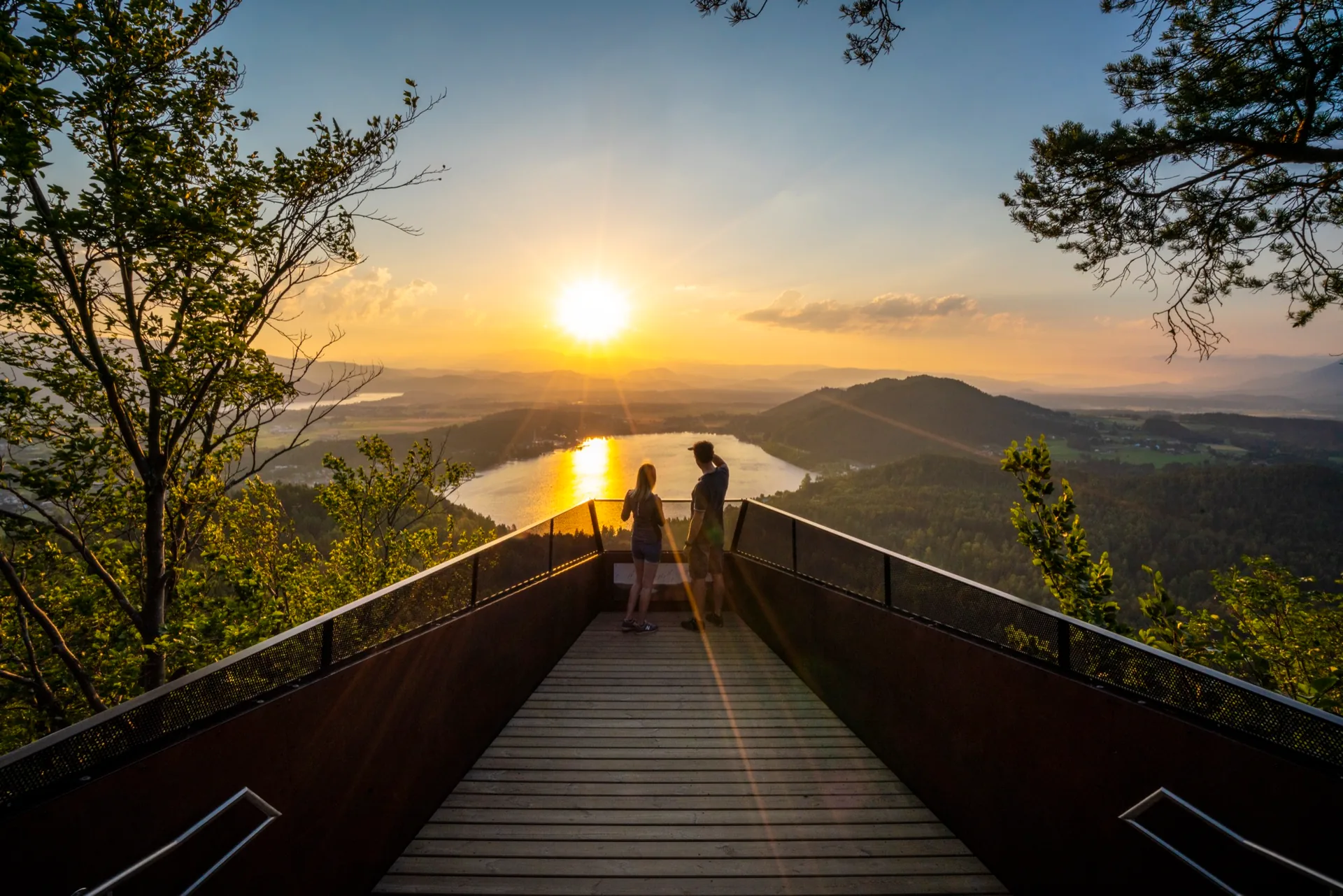
Viewing platform on the Slow Trail Kitzelberg above Klopeiner See
EasyDrive from the house:20.2 km · approx. 25 minReachable without a car

Slow Trail Kitzelberg at Klopeiner See

approx. 7 km · 2 to 2.5 hrs · approx. 240 m ascent

The best-known family walk in the region and the reason many guests search for hikes at Klopeiner See in the first place. A shaded forest path climbs gently to a modern viewing platform that looks out over the lakes and the whole Jauntal valley. On the way back you can add an afternoon by the water, Klopeiner See being the warmest bathing lake in Europe. At sunset the view from the platform is a reason to make the climb on its own.

By public transport
Free by train to Kühnsdorf-Klopeinersee with the Aktiv Card
Food stop
Inns and lidos around the lake
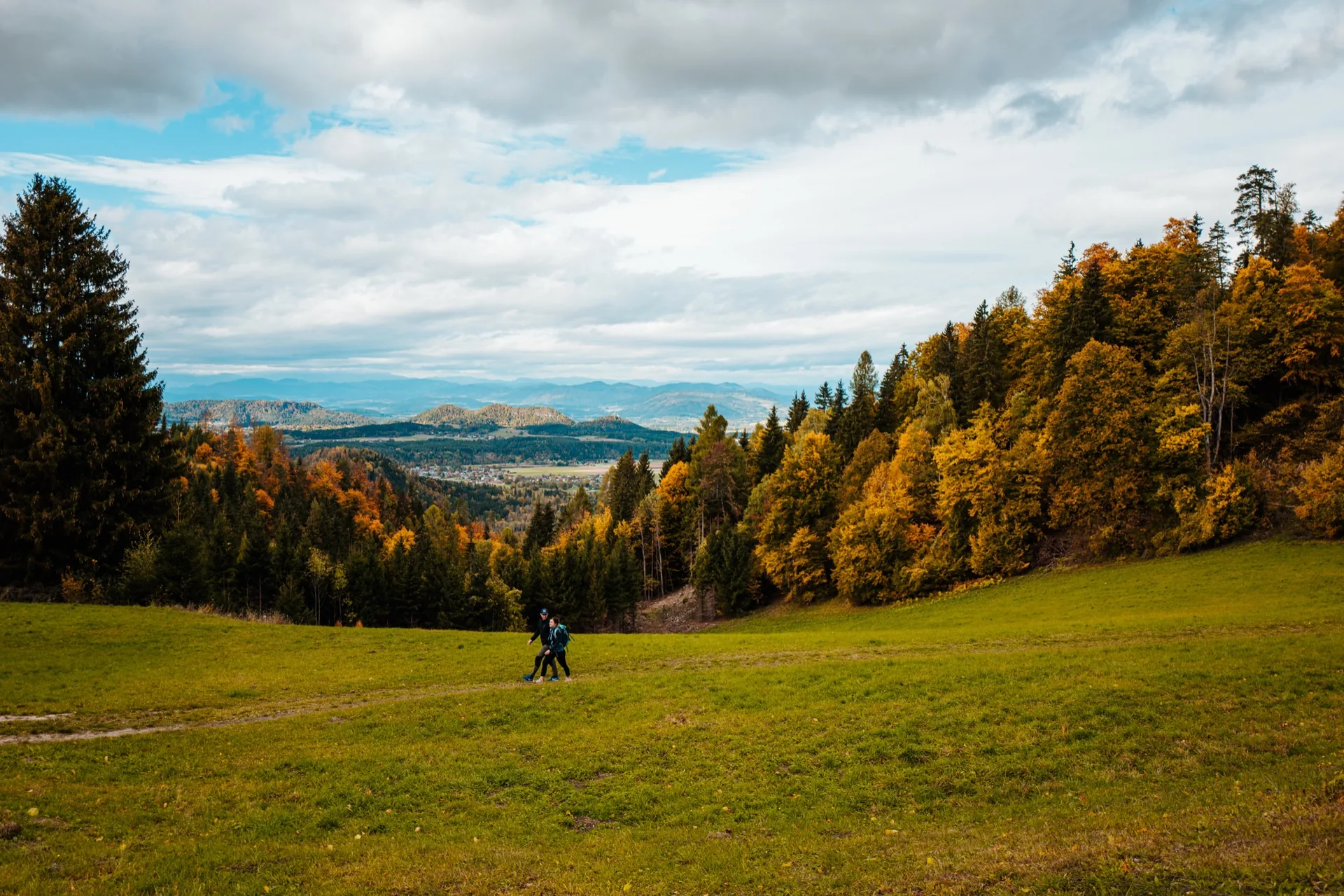
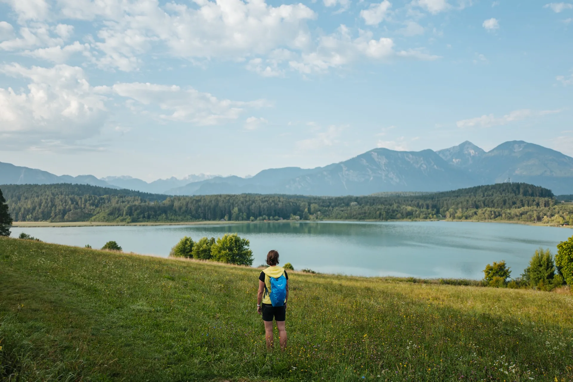
Slow Trail at the Turnersee with its reed belt and still water
EasyDrive from the house:20.2 km · approx. 25 minReachable without a car

Slow Trail Turnersee

approx. 7.3 km · approx. 1.75 hrs · only about 50 m ascent

The flattest waymarked path in the region: once around the Turnersee, some 50 metres of ascent across seven and a half kilometres, alternating asphalt, gravel and forest or meadow track. The Turnersee is one of the most natural lakes in Carinthia, with a reed belt and water lilies, and from the path the view runs from the Steiner Alps to the Hochobir. If you want a walk on which nobody gets out of breath, take this one.

By public transport
Train to Kühnsdorf-Klopeinersee, then the lake shuttle or Postbus
Food stop
Inns and Buschenschanken around the lake
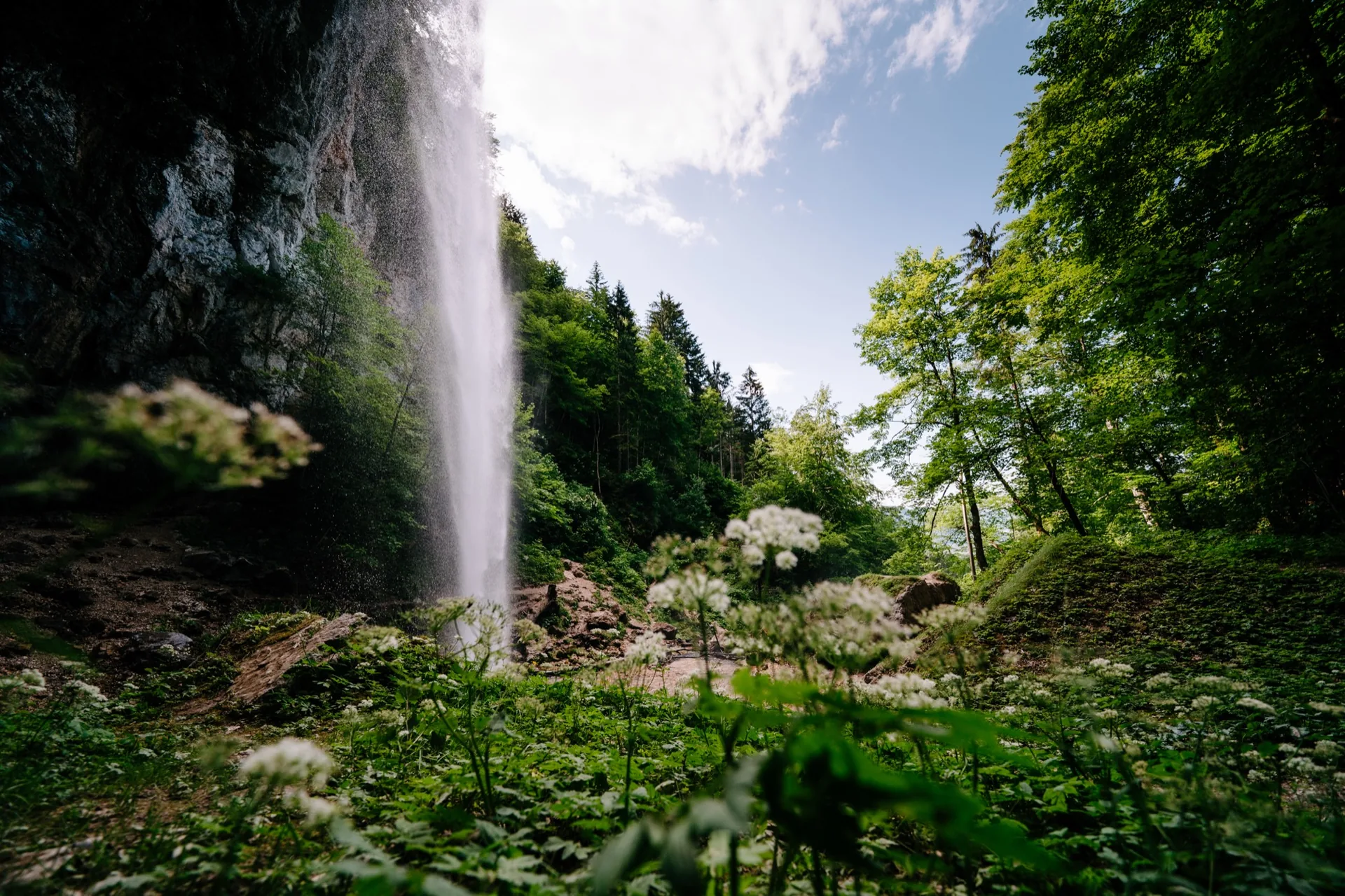
The Wildenstein waterfall in the forest near Gallizien
EasyDrive from the house:26.2 km · approx. 35 min

Wildenstein waterfall

approx. 3 km · 1.5 to 2 hrs · approx. 285 m ascent

A 54-metre free fall, one of the highest free-falling waterfalls in the European Union, and still reachable in under an hour. The path climbs from the car park at Gallizien through the forest, crosses the stream and leads to the lip of the fall. Short, spectacular, and therefore the walk that convinces children who did not want to go walking. A Flying Fox park sits right next to it.

Food stop
Inn at the waterfall

Pirkdorfer See loop

approx. 4.5 km · approx. 1.25 hrs · flat

EasyDrive from the house:5.9 km · approx. 10 minReachable without a car

The nearest lake to the house: a small, quiet lake in the forest with a gently rolling path around it. The walk for your first holiday day, when nobody yet knows how fit everyone is. Pirkdorfer See on suedkaernten.at

Family-friendly paths

Wide, level and without steps. On the Zeitenweg the cable car does the entire climb, the Trögerner Klamm is explicitly listed as pram-friendly by the region and is the coolest stretch for miles in high summer, and the Sablatnigmoor is flat and walkable all year. A pram with off-road wheels helps; a buggy on small hard plastic wheels will reach its limits.

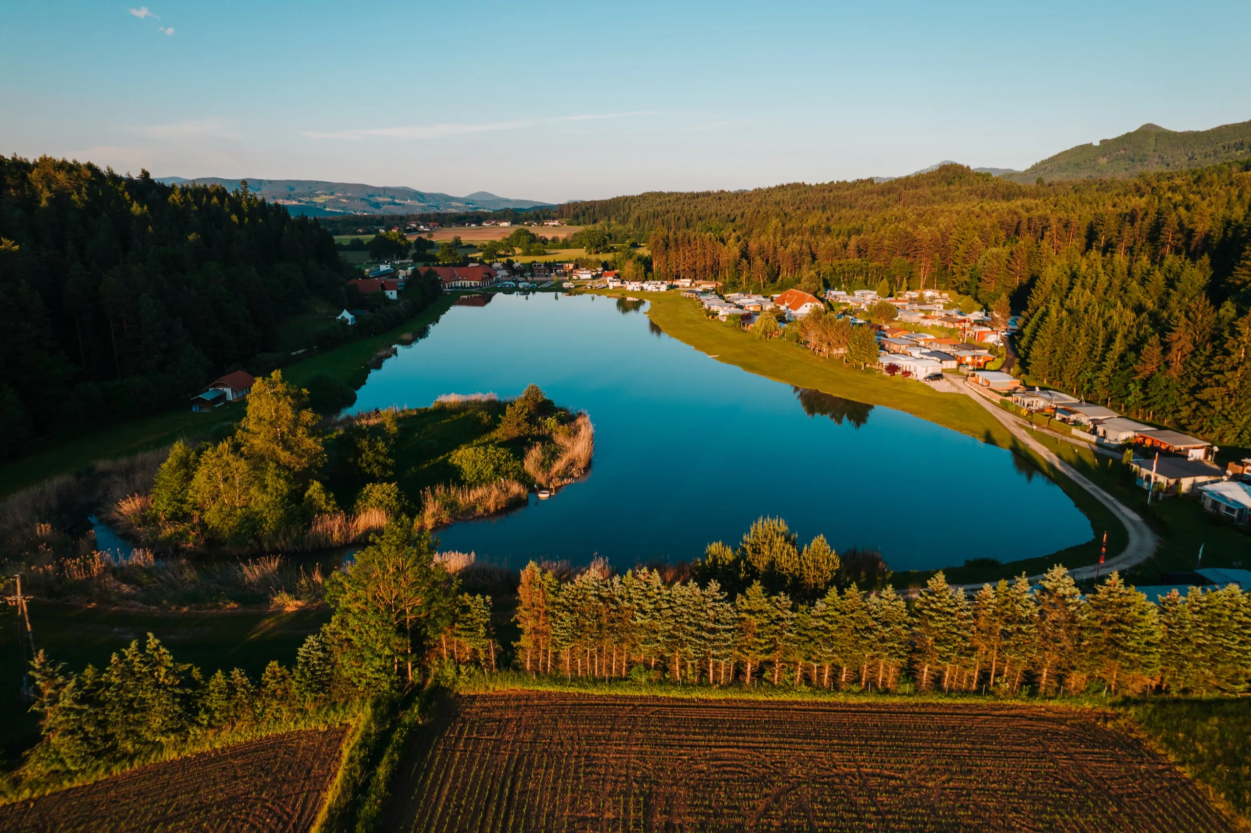
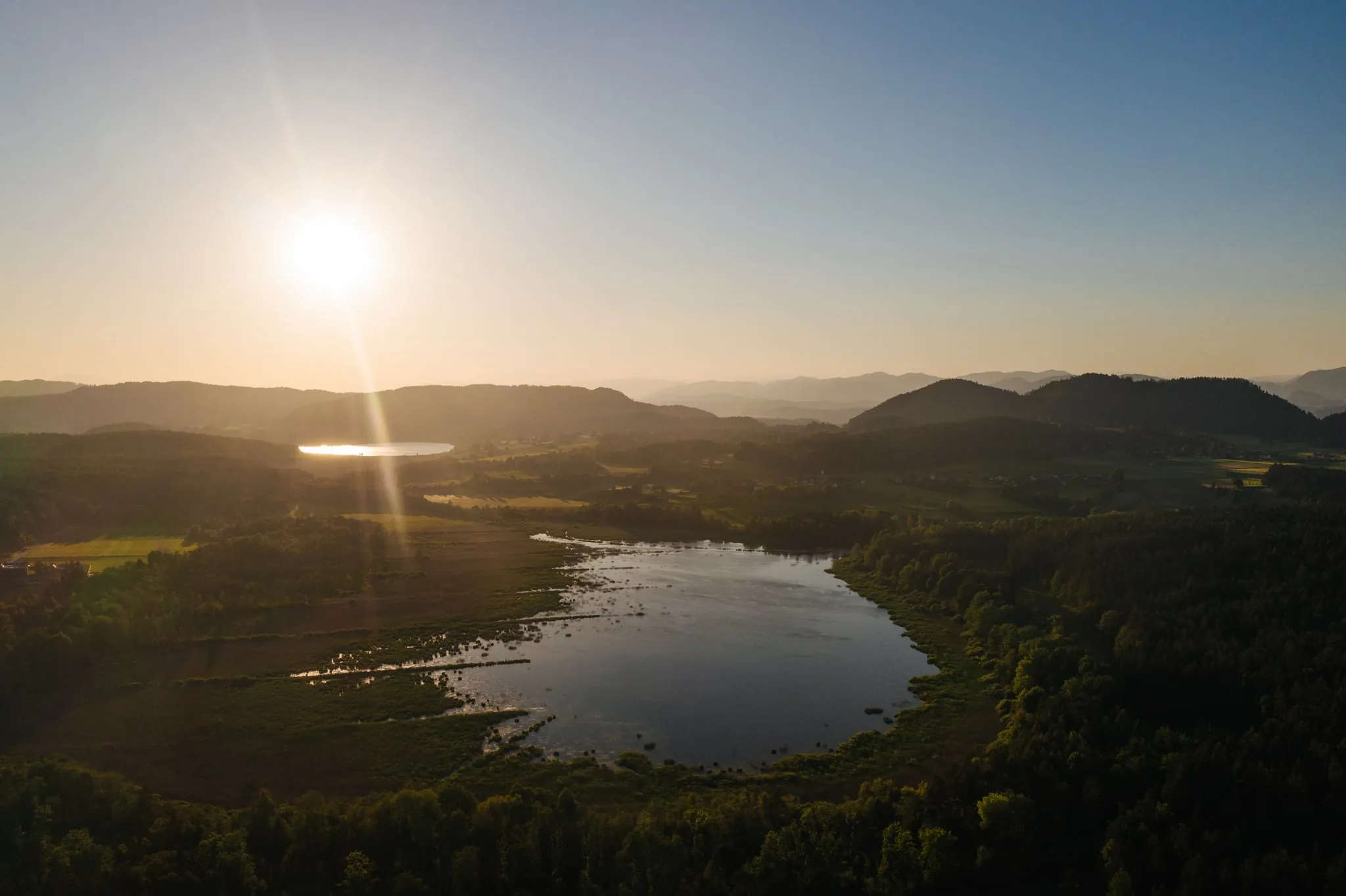
The Pirkdorfer See near Bleiburg from the air
EasyDrive from the house:5.9 km · approx. 10 minReachable without a car

Pirkdorfer See loop

approx. 4.5 km · approx. 1.25 hrs · flat

The nearest lake to the house: a small, quiet lake in the forest with a gently rolling path around it. The walk for your first holiday day, when nobody yet knows how fit everyone is.

By public transport
Reachable by Postbus Shuttle from the house, otherwise 10 minutes by car
Food stop
Inn by the lake, seasonal opening times
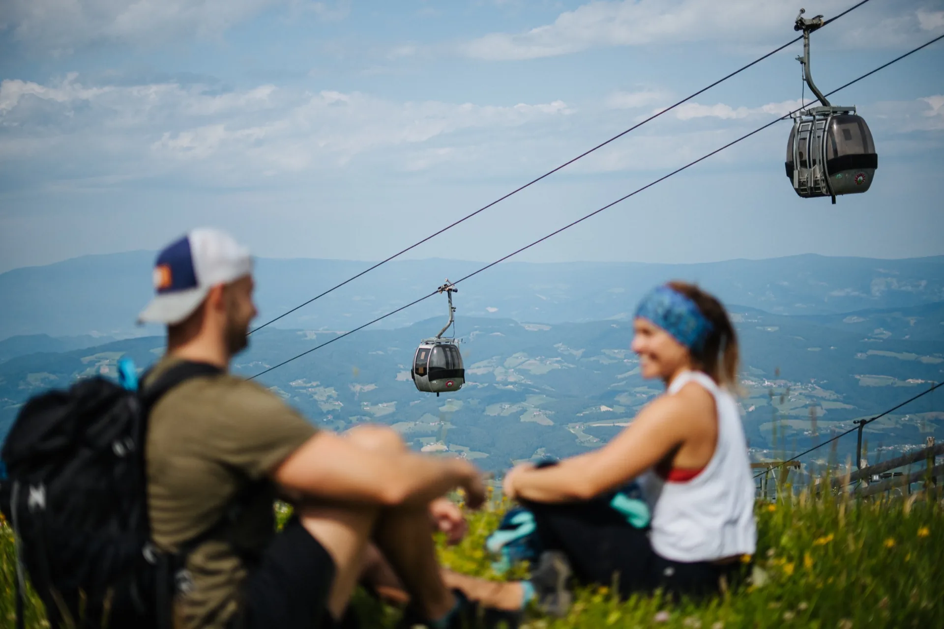
Cable car up the Petzen above the Jauntal valley
EasyDrive from the house:6.2 km · approx. 10 minReachable without a car

Zeitenweg trail by the Petzen mountain lake

Loop · 30 to 60 min · barely any climb

The easiest loop in the region and the only one where the cable car does the climbing. Up on the summit plateau the Zeitenweg runs around the reservoir, flat, wide and suitable for prams, with stations on the earth's history along the way. For small children, this is the walk a hiking holiday should start with.

By public transport
Postbus Shuttle from the house to the valley station, then the cable car
Food stop
Panorama restaurant next to the top station with a large sun terrace
An autumn walk through the Trögerner Klamm gorge
EasyDrive from the house:33 km · approx. 40 min

Trögerner Klamm gorge

approx. 7 km · approx. 2 hrs · approx. 100 m ascent · pram-friendly

A gorge you walk through without any via-ferrata feeling, and one the region lists as pram-friendly: the path runs almost level along the stream, some 3.5 kilometres between the rock walls. In high summer the coolest walk on this page, because the sun barely reaches in. Sturdy shoes are enough, no alpine sure-footedness required. You drive the last few kilometres up the Vellach valley; public transport only gets you as far as Bad Eisenkappel.

Food stop
Inns in Bad Eisenkappel on the way back
The Sablatnigmoor near Eberndorf from the air
EasyDrive from the house:17.8 km · approx. 25 minReachable without a car

Sablatnigmoor Natura Trail

approx. 4.5 km · approx. 1 hr · flat

A flat loop through a protected moorland near Eberndorf, walkable all year and still lovely on days when the mountain is already in cloud. From the viewing tower you will see herons, ducks and, in spring, migrating birds. The shortest worthwhile walk for half an afternoon, and the only one here where the birds matter more than the view.

By public transport
Train to Kühnsdorf-Klopeinersee, then the Postbus towards Eberndorf
Food stop
Buschenschenke Kordesch sits right on the path, see below

Summit walks

Three two-thousanders, and the reason they are doable here in half a day at all: on two of them the cable car takes about a thousand metres of ascent off you, and on the Hochobir the panorama road climbs to the Eisenkappler Hütte at 1,553 metres. Proper mountain boots and sure-footedness still apply, as does a look at the cable car's operating hours.

Family hiking on the Kordeschkopf in the UNESCO Geopark Karawanken above the Petzen
DemandingDrive from the house:6.2 km · approx. 10 minReachable without a car

Kordeschkopf, 2,126 m

approx. 5 km · approx. 3 hrs · approx. 450 m ascent

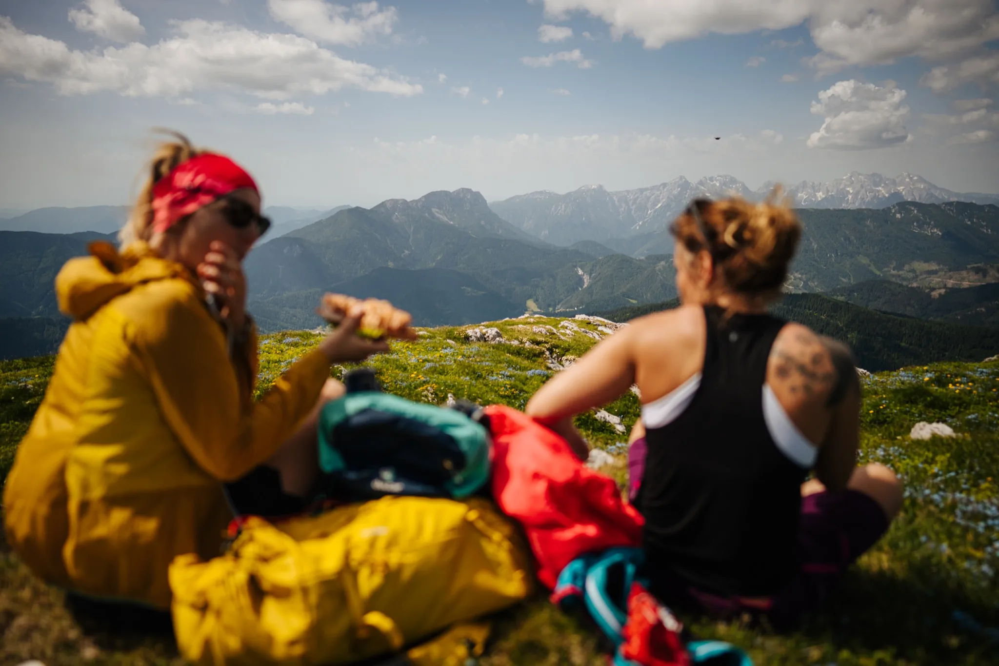
The highest point of the Petzen and the only two-thousander you can do from here in half a day. From the top station across the Kniepssattel to the summit and back the same way, on paths P5 and P12. Up there you stand on the border inside the UNESCO Geopark Karawanken and, in clear air, see as far as Slovenia and Italy. Proper mountain boots, sure-footedness and a look at the cable car's operating hours are the conditions, otherwise half a day turns into a whole one.

By public transport
Postbus Shuttle from the house to the valley station, then the cable car
Food stop
Panorama restaurant at the top station once you are back
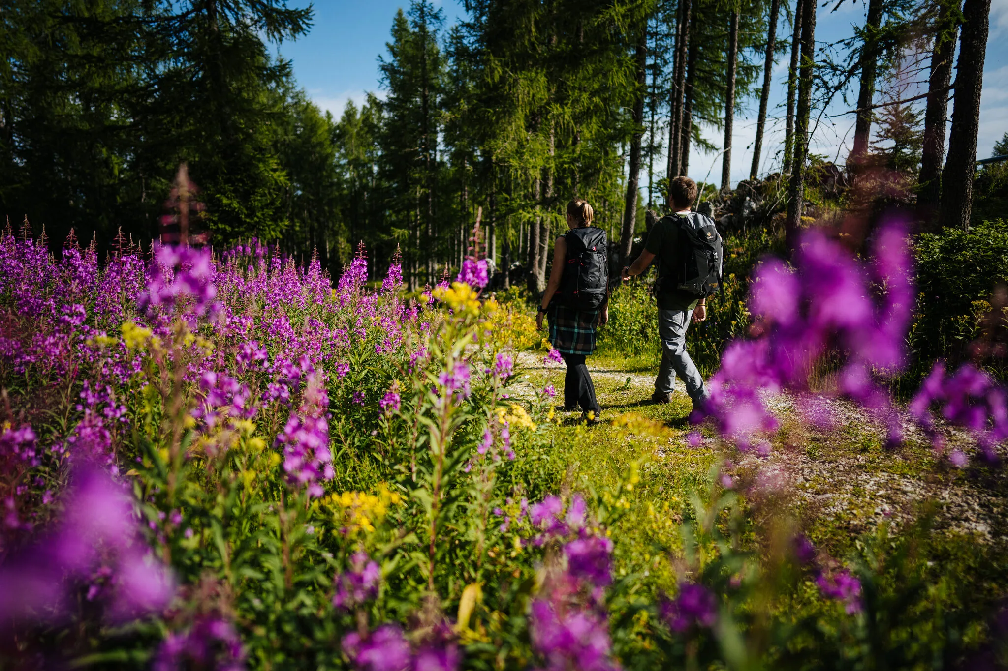
Walking through flowering alpine meadows on the Petzen
DemandingDrive from the house:6.2 km · approx. 10 minReachable without a car

Feistritzer Spitze, 2,113 m

approx. 7.2 km · approx. 3.75 hrs · approx. 630 m ascent

The long circuit above the mountain lake, often called the Upper Petzen Round: from the top station across the Kniepssattel to the Feistritzer Spitze and back over the alpine pastures. Unlike the Kordeschkopf you do not walk the same path twice here, but it takes longer. The border ridge between Austria and Slovenia runs directly under your feet.

By public transport
Postbus Shuttle from the house to the valley station, then the cable car
Food stop
Panorama restaurant at the top station once you are back
Hiking on the Hochobir above the Panoramaweg Südalpen near Bad Eisenkappel
DemandingDrive from the house:40.7 km · approx. 1 hr

Hochobir, 2,139 m

approx. 5.5 km there and back · a good 3 hrs · approx. 580 m ascent

The viewpoint mountain of the Karawanken and the highest summit on this page. From the Eisenkappler Hütte at 1,553 metres it is only about an hour of climbing left, the drive up the panorama road does the rest, and that road is car-only. At the top stand the remaining walls of the old Rainer refuge, and the view runs across the Karawanken as far as the Julian Alps. If you want the whole mountain, start down at the Wildenstein waterfall: roughly 1,700 metres of ascent and a long day.

Food stop
Eisenkappler Hütte at the trailhead

Long-distance walking and culture

Three routes with something to see along the way: five early Christian churches on the Hemmaberg, two museums between Bleiburg and Neuhaus, and the stage of the Panoramaweg that starts in Bleiburg. All of them take half a day to a full day.

Hiking on the Hemmaberg above the Jauntal valley in autumn

Hemmaberg with its pilgrimage museum

approx. 8 km · 2 to 2.5 hrs · approx. 350 m ascent

ModerateDrive from the house:12.3 km · approx. 20 min

The nearest proper climb and the richest in history. The path leads up from Globasnitz, and at the top stand the foundations of five early Christian churches from the 5th century, plus the pilgrimage church and the Rosalia grotto. The path is well waymarked throughout, the ascent steady and never exposed. A morning's walk, with a museum instead of a summit rest as the reward. Hemmaberg pilgrimage museum: opening times

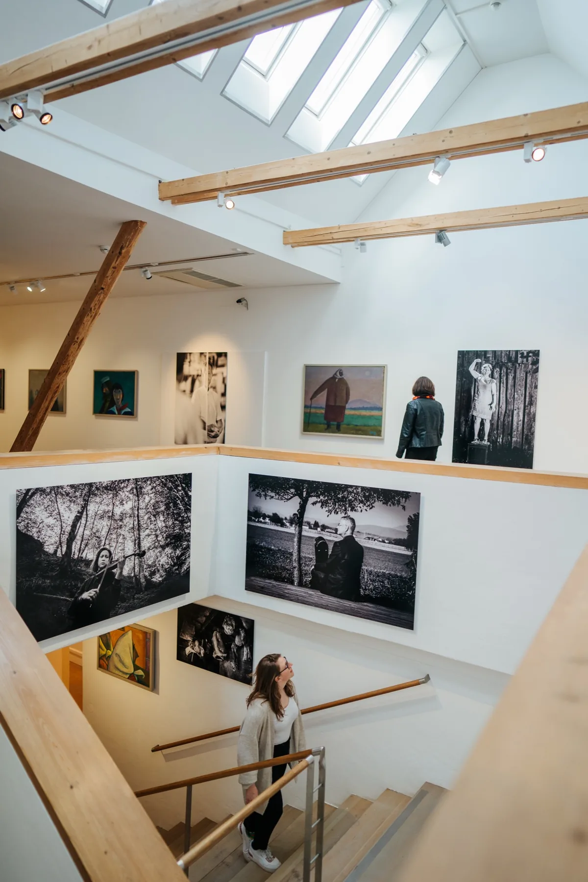
Exhibition room in the Werner Berg Museum in Bleiburg

Museum walk, stage 1: Bleiburg to Neuhaus

15.2 km · approx. 4 hrs · approx. 570 m ascent

ModerateDrive from the house:3.9 km · approx. 5 min

The longest route on this list and the only one linking two museums: start at the Werner Berg Museum on Bleiburg's main square, over the Kömmelgupf through the forest, then down to Neuhaus and the Museum Liaunig. Hiking and art in one day, which is something of a local speciality. Important: this is a linear route, not a loop. Plan the way back before you set off, there is no train on this stretch. Werner Berg Museum, start of the stage

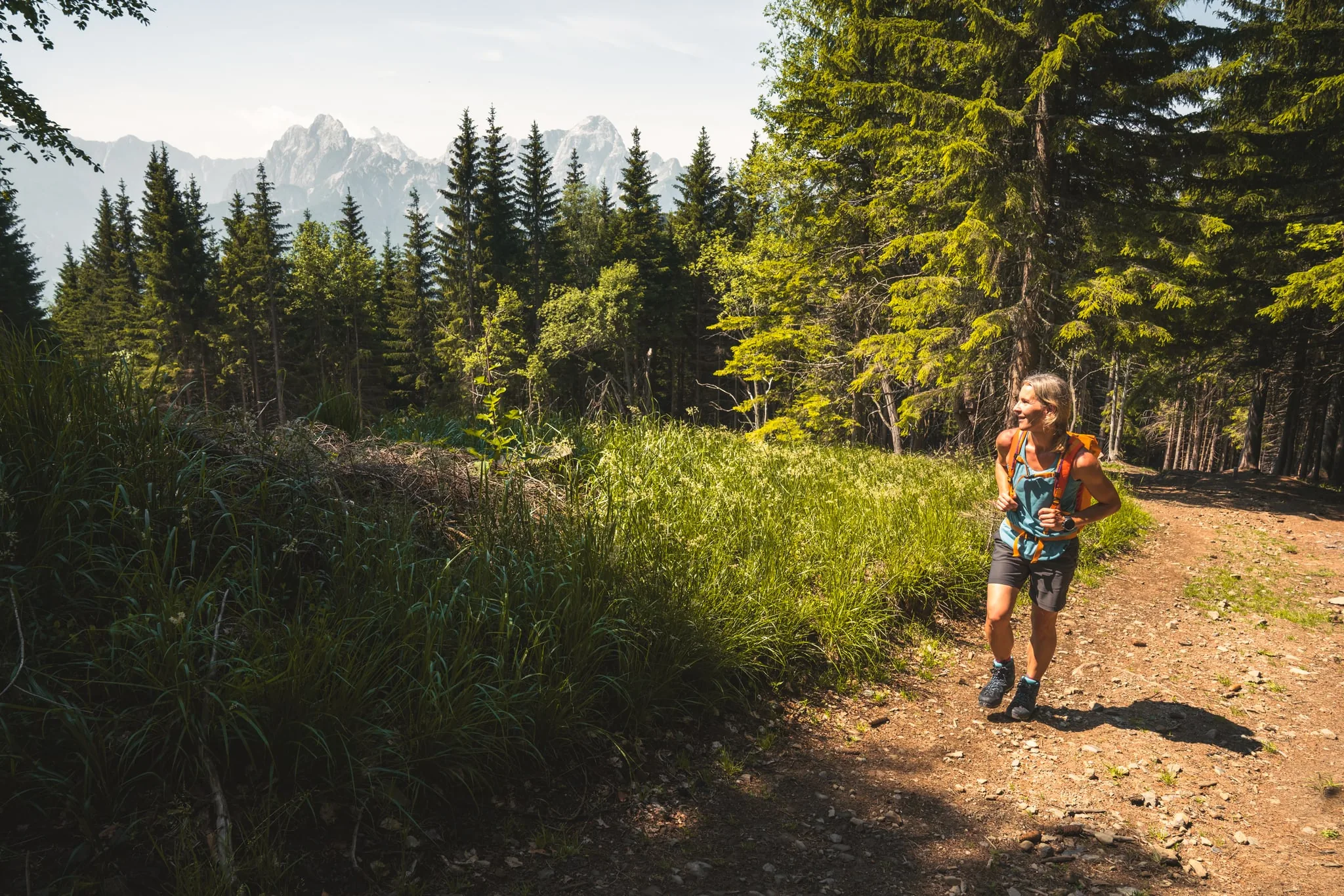
A walker on the Panoramaweg Südalpen

Panoramaweg Südalpen, stage 14: Bleiburg to Lavamünd

17.3 km · approx. 5.5 hrs · approx. 660 m ascent

ModerateDrive from the house:3.9 km · approx. 5 minReachable without a car

The Panoramaweg Südalpen runs 286 kilometres across southern Carinthia in 20 stages, and Bleiburg is one of its stage towns: stage 13 ends here, stage 14 begins here. So you can sleep at our place without leaving the trail. Stage 14 climbs over the Kömmelgupf to 1,065 metres and then runs down to Lavamünd on the river Drau. All 20 stages on panoramaweg.at

Getting there

Hiking without a car

The house stands alone on a knoll above the Jauntal valley, meadows and forest all around. The first kilometres are meadow and forest tracks with no through traffic, and for most of the walks on this page you need no car of your own after that.

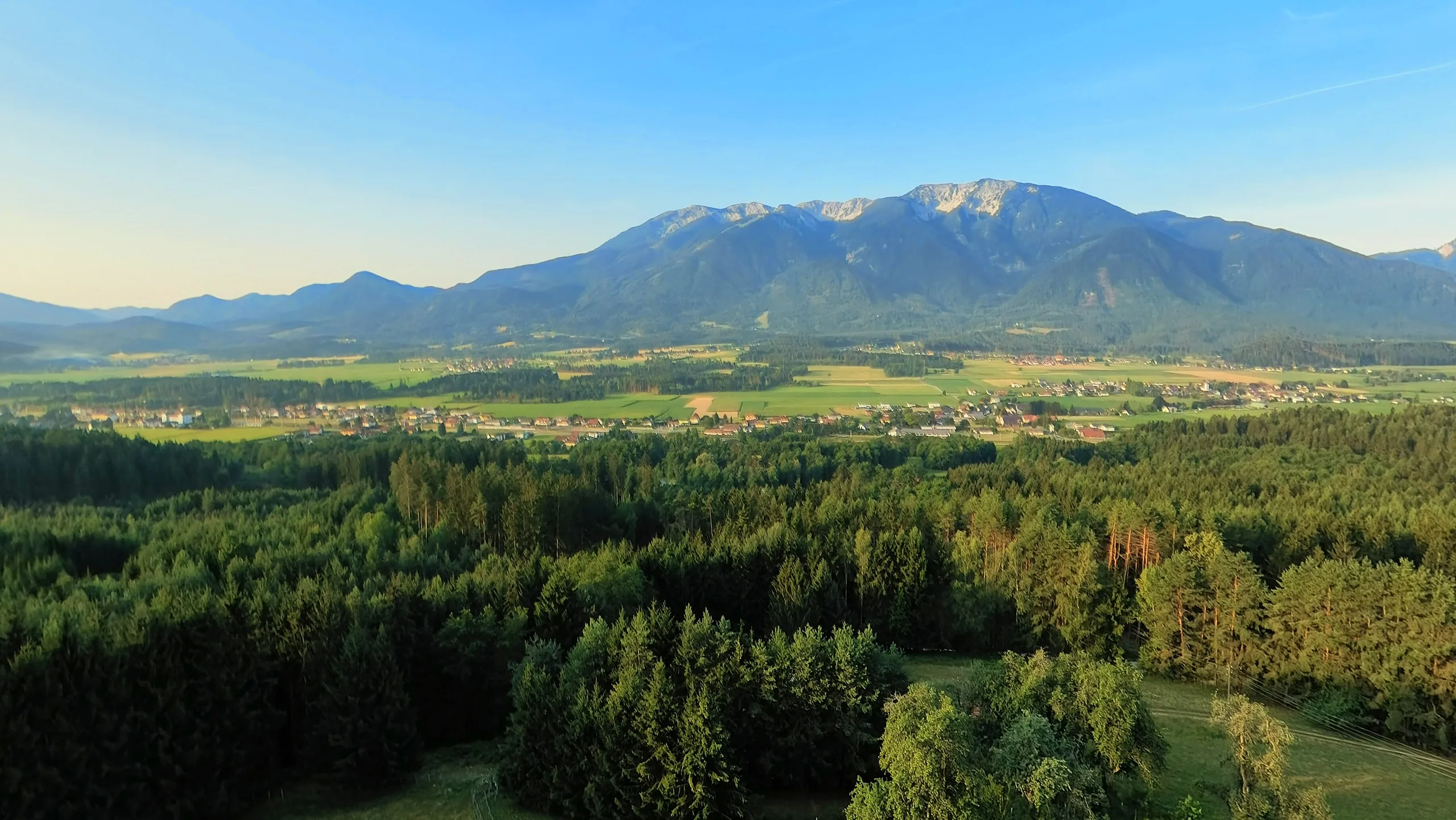
Morning light over the meadows and the view to the Petzen at Ferienhaus Huber
  • On foot from the farm gate

    Meadow and forest tracks with no through traffic. Bleiburg Stadt is about 40 minutes away, and the train brings you back.

  • By Postbus Shuttle

    Stops right at the house at the Ferienhaus Huber stop and runs on demand across the region, booked in the app. Booking early is best.

  • By GO-MOBIL

    Our backup: the dial-a-ride taxi takes you to the Petzen valley station and the Pirkdorfer See, Sundays and holidays included.

  • By train with the Aktiv Card

    Bleiburg station is 2.5 km away, and the Aktiv Card covers every S-Bahn and REX fare in Carinthia.

You can take lovely walks straight from the house … a beautiful view of the Petzen. Still a treat even on the tenth visit.
Guest on Booking.com
Apartments for 2 to 8 guests

Apartments for hikers

From 50 to 110 m², equipped with everything you need for a relaxed stay.

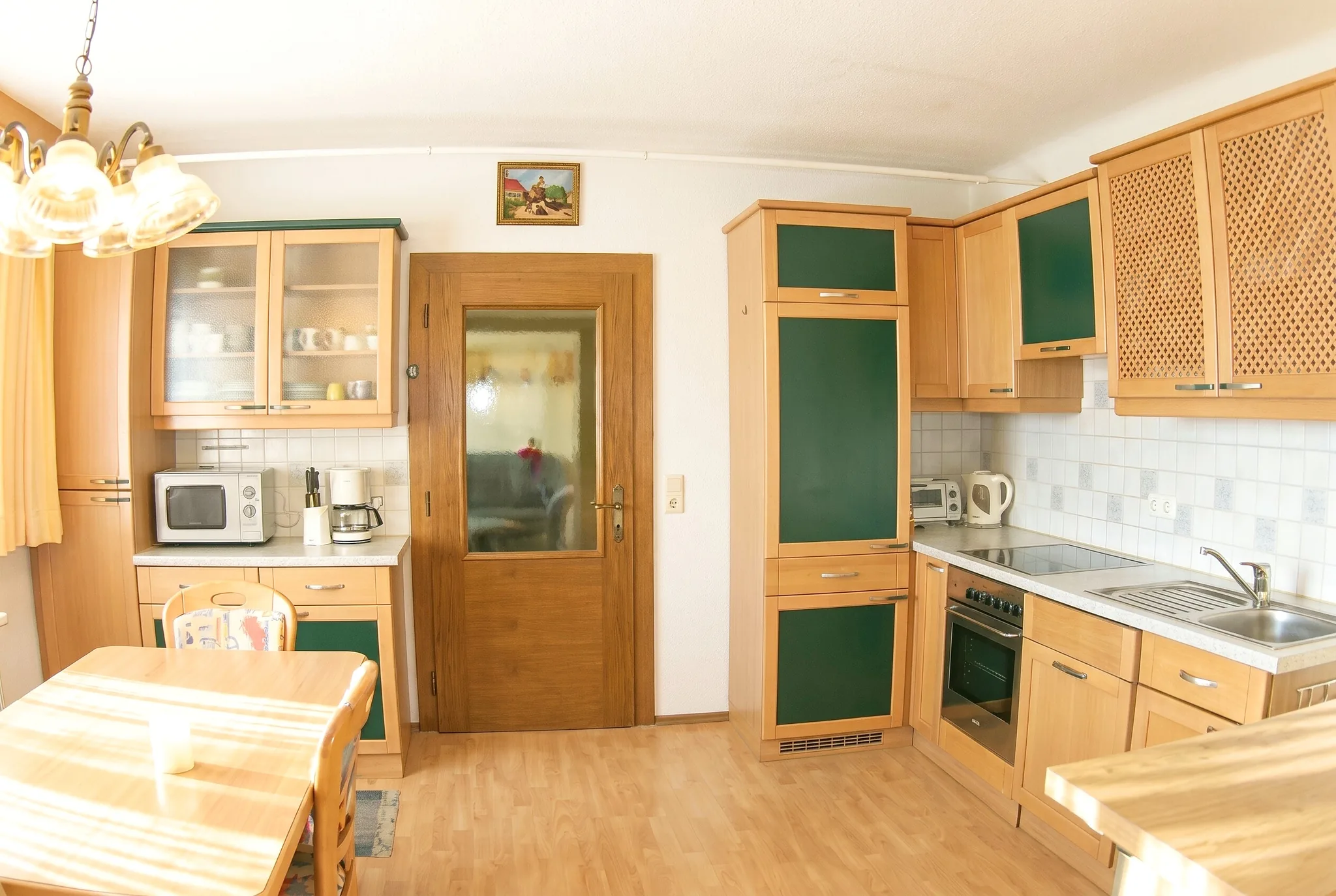
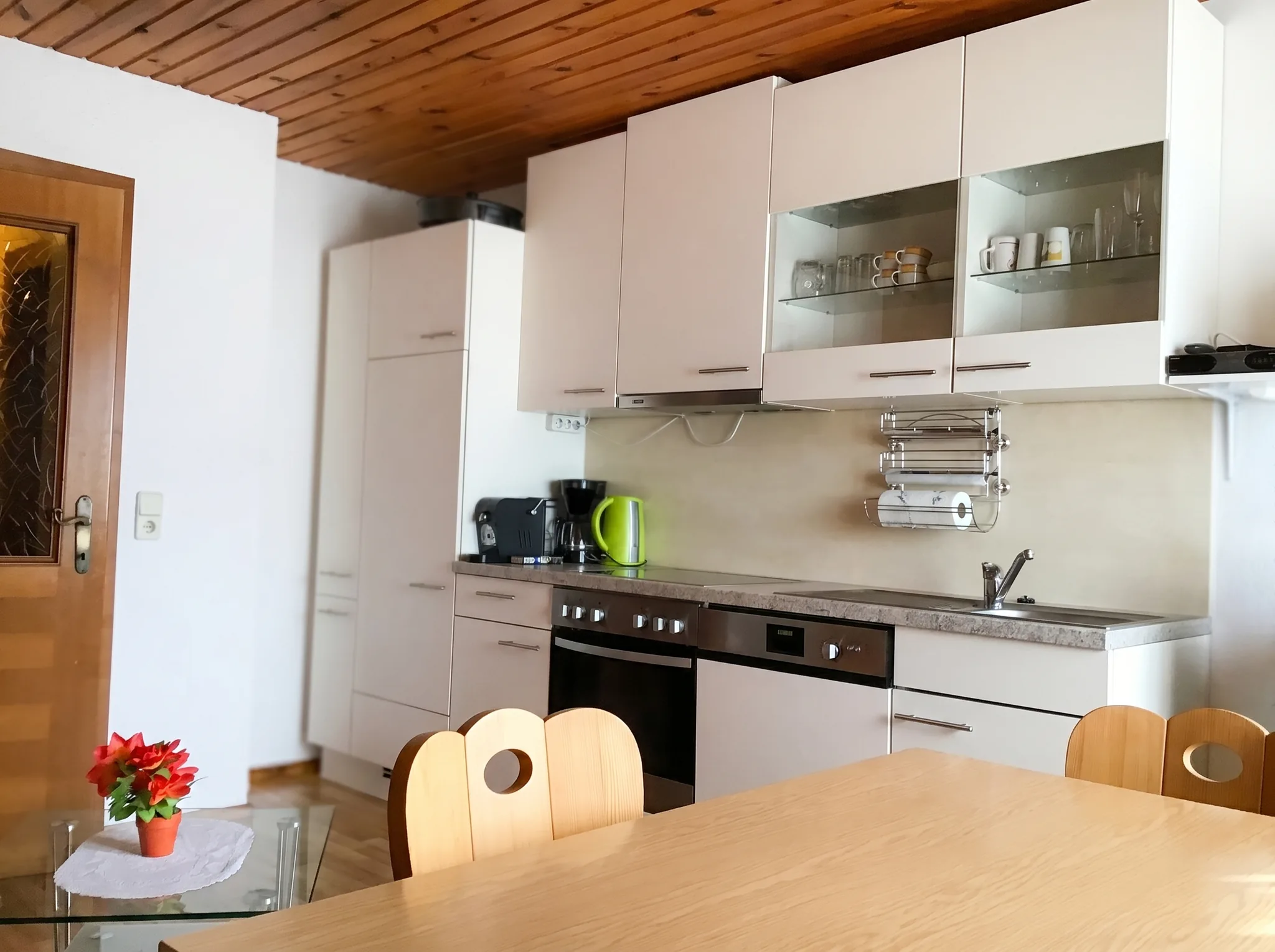
Kitchen
Kitchen
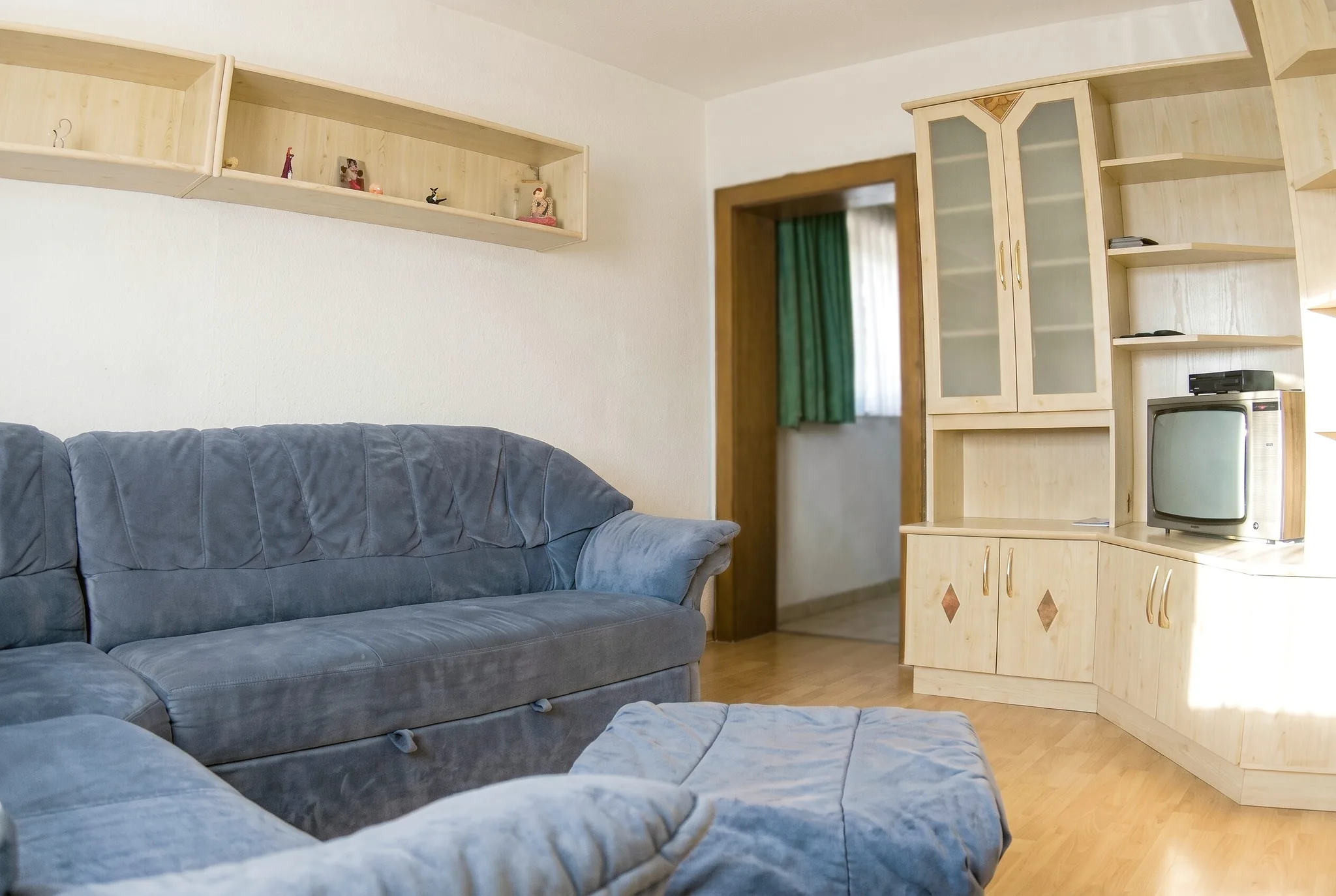
Living room
Living room

Apartment I

110 m²6-8 guestsfrom €108/night

Two separate bedrooms, a spacious living room and its own terrace. Private bathroom and separate WC, plus a fully equipped kitchen.

View apartment
Kitchen
Kitchen
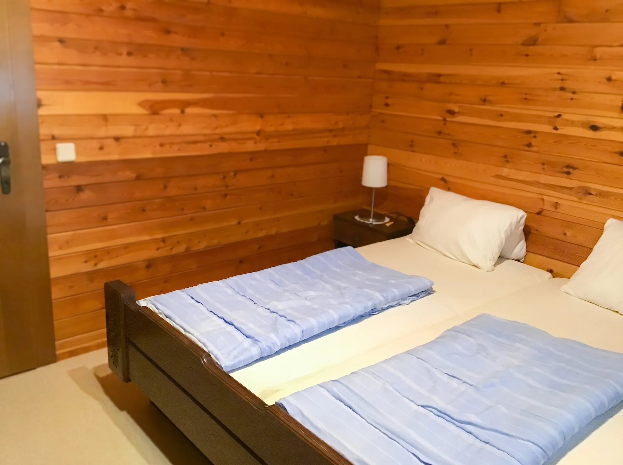
Bedroom
Bedroom

Apartment II

70 m²5-6 guestsfrom €81/night

Two separate bedrooms and an eat-in kitchen with dining area, plus its own balcony. Private bathroom and separate WC.

View apartment
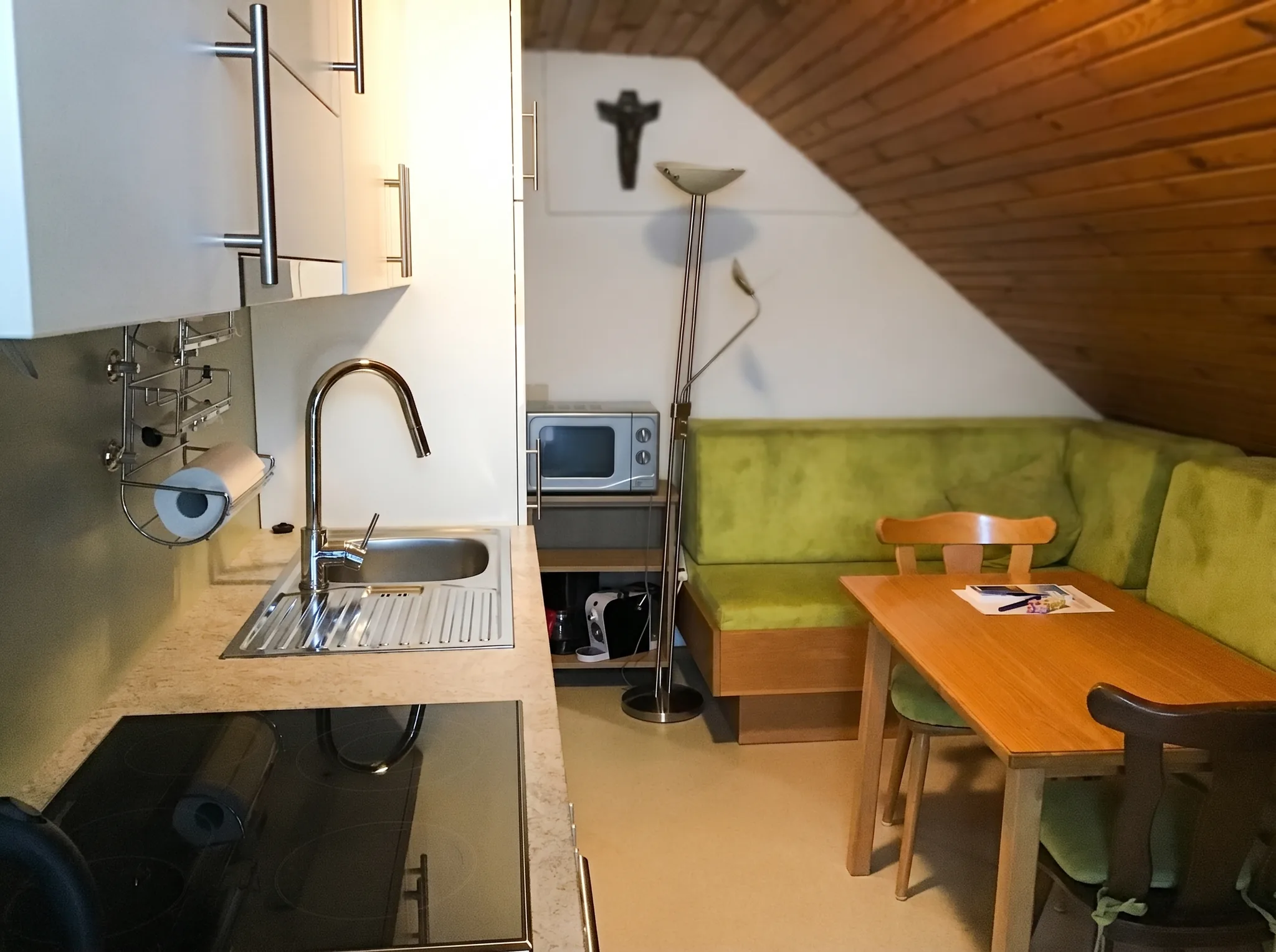
Kitchen
Kitchen
Bedroom
Bedroom

Apartment III

50 m²2-4 guestsfrom €27/night

One bedroom and a cosy eat-in kitchen with a seating nook, plus its own balcony. Private bathroom and separate WC.

View apartment

excl. final cleaning · minimum stay 3 nights

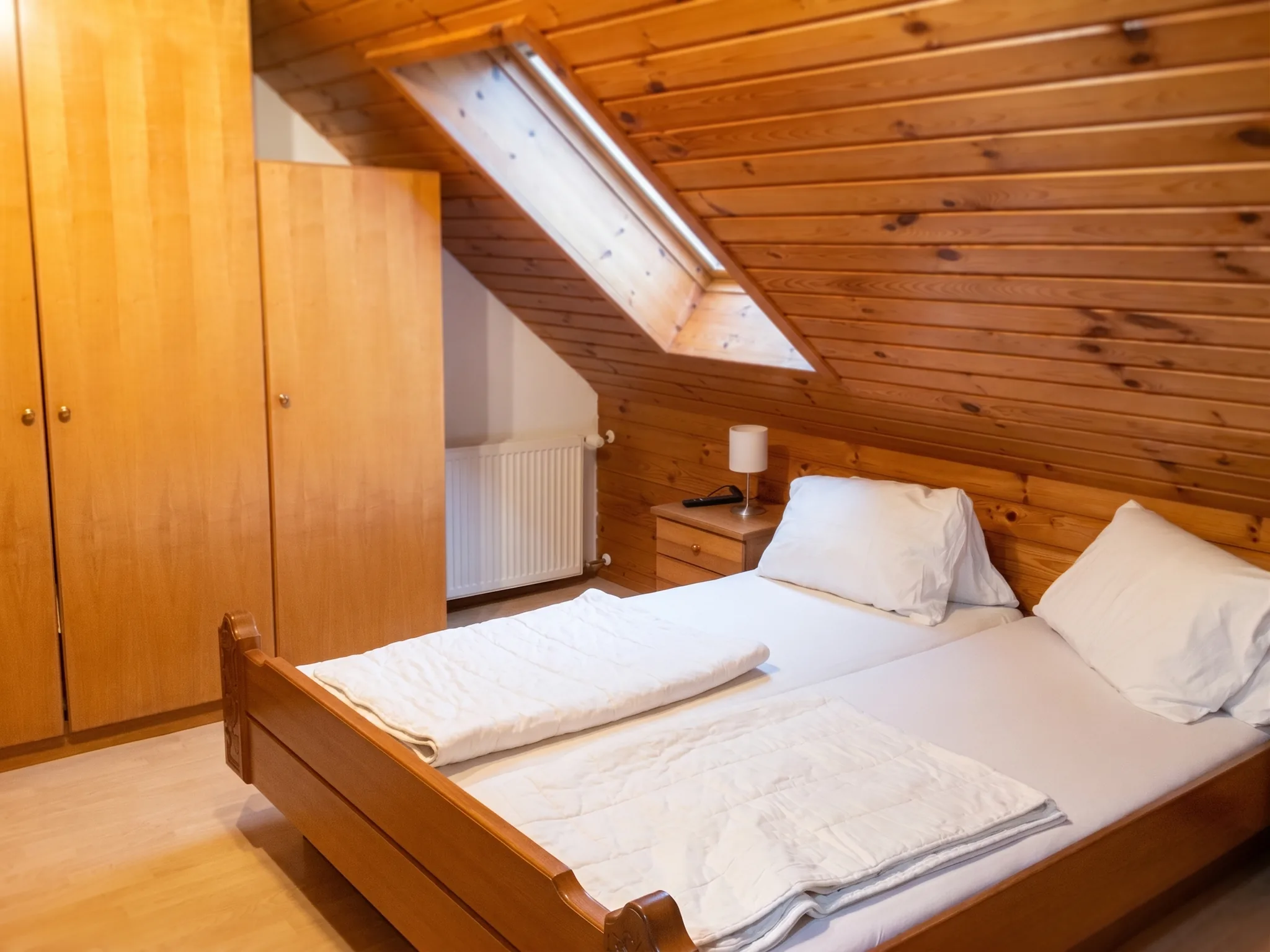
We rent out three apartments for 2 to 8 people, each with its own kitchen. For hikers, what matters most is what comes after the walk: wet boots dry overnight, you cook for yourself, and from the balcony or terrace you see the Petzen the next morning.

Washing machine, dryer, drying roomOwn kitchen in every apartmentView of the Petzen from the balconyMeadow and forest paths from the doorBleiburg station 2.5 kmDogs welcome
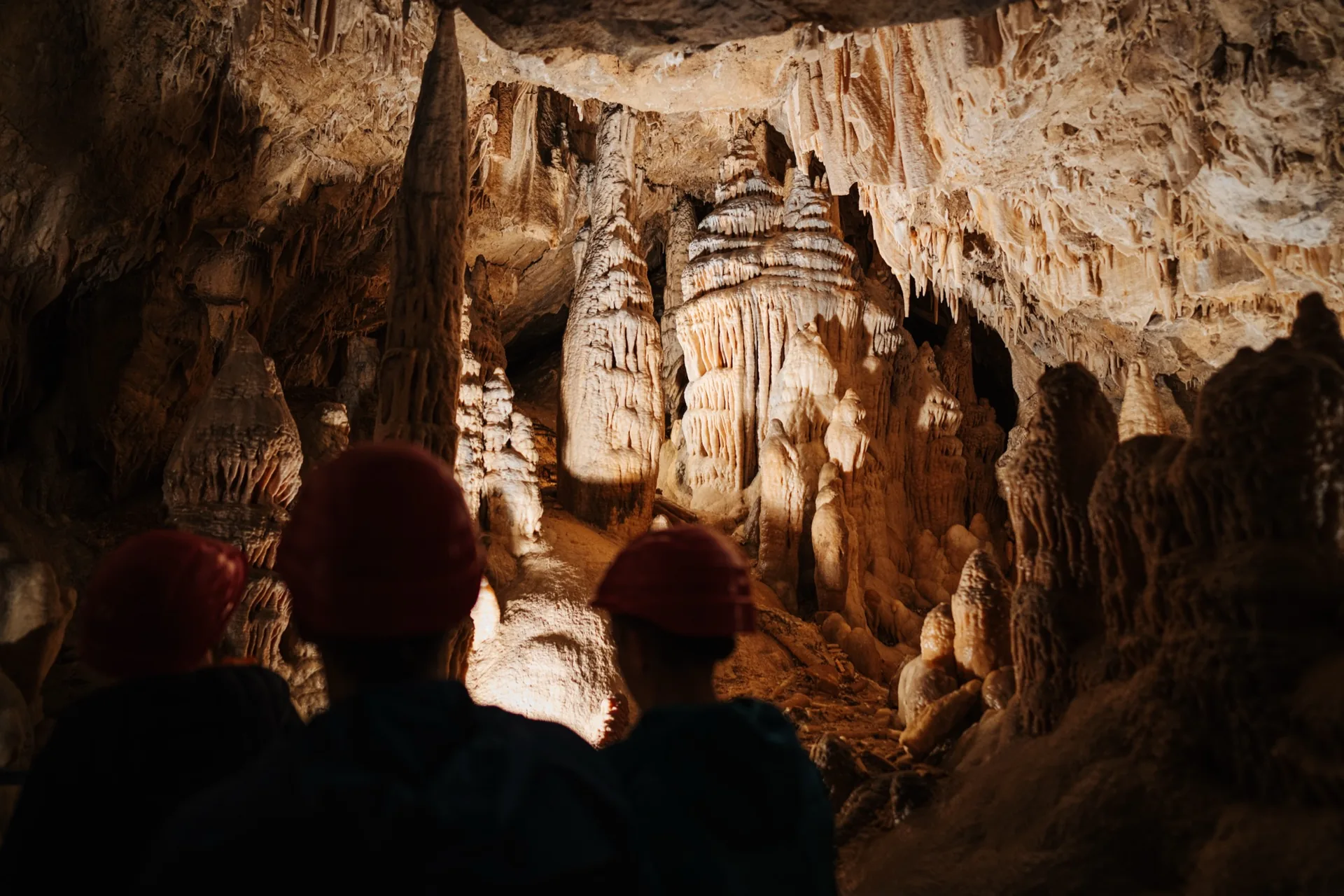
Illuminated cave hall in the Obir dripstone caves
When it pours

Things to do when it rains

Rainy days happen here as everywhere. Three destinations work reliably then, two of them by train from Bleiburg.

And when nobody wants to drive anywhere: the house has playrooms, a club room with table tennis, billiards and darts, plus the sauna and solarium.

  • Underground: the Obir dripstone caves

    A steady 8 degrees all year, a guided tour with staged lighting, near Bad Eisenkappel. Booking required, usually a week ahead. The Griffen dripstone cave is the second address.

  • Into the city by train

    From Bleiburg it is about 25 minutes to Klagenfurt and about 50 minutes to Graz on the new Koralmbahn, and St. Paul abbey in the Lavanttal is about 15 minutes away. Within Carinthia the Aktiv Card covers the fare.

  • Walderlebniswelt at Klopeiner See

    A treetop walkway, slides, and a 500 sqm indoor play house open daily in any weather. For families the most reliable rainy day in the region.

Cool down & warm up

Cooling down and warming up after the walk

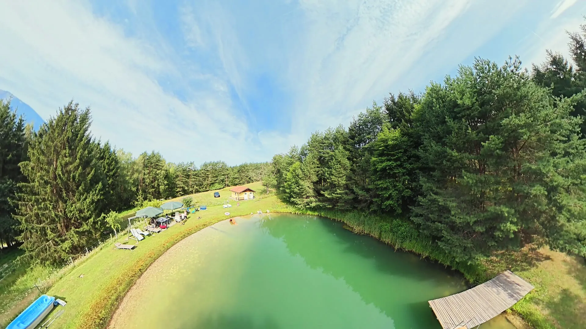
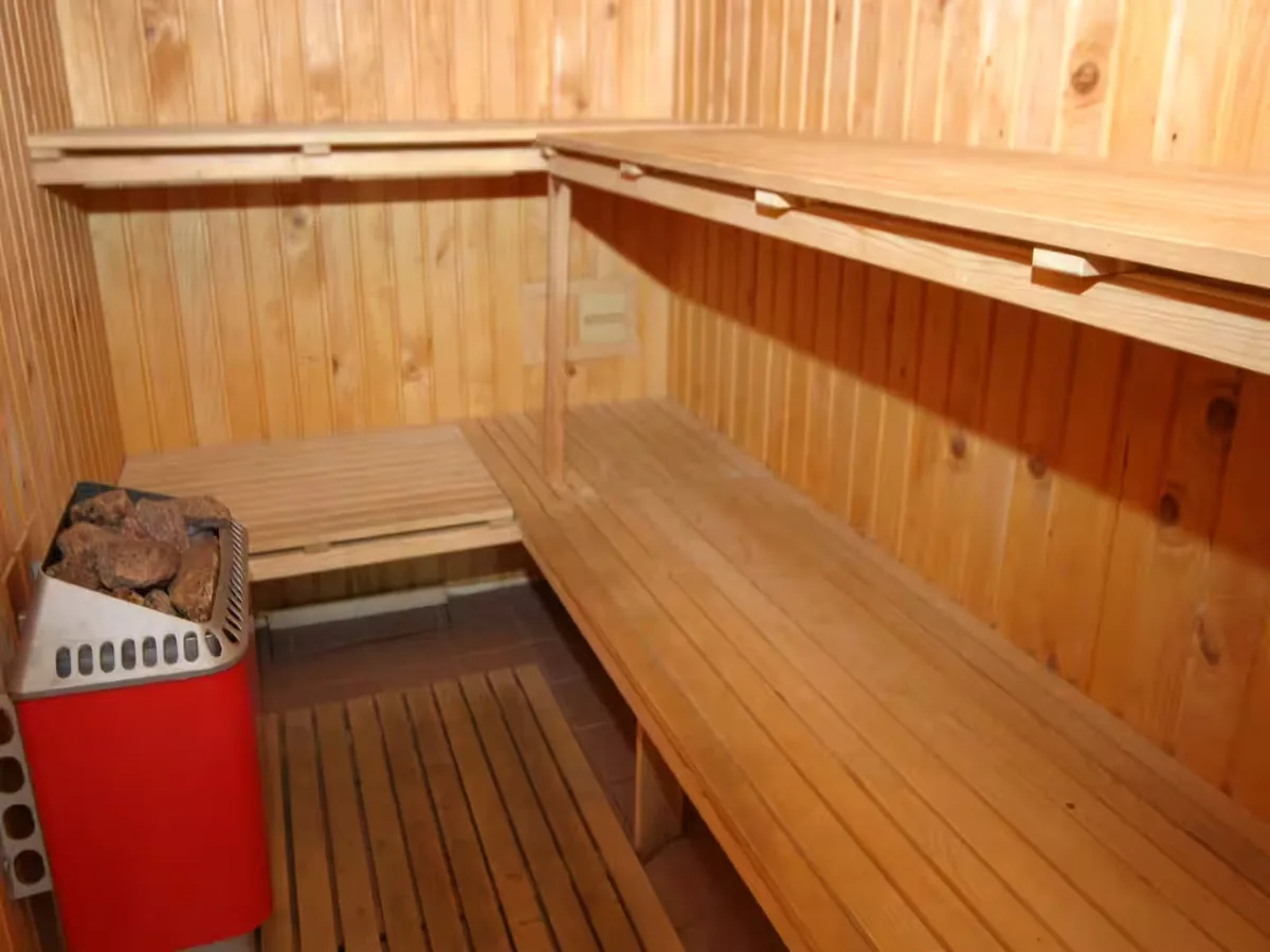
Our private nature pond with its wooden jetty and lawn lies right at the house: the water experience on the doorstep, no drive involved. For a swim it is five kilometres to the Pirkdorfer See and about 18 km to Klopeiner See, the warmest bathing lake in Europe. For tired legs there is a Finnish sauna and a solarium in the house, and for the evening after, the stone fire pit with its pizza oven and swing grill.

Wooden jetty at the private nature pond at Ferienhaus Huber
Finnish sauna at Ferienhaus Huber
  • Private nature pond

    Wooden jetty, lawn and quiet, right at the house and only for our guests.

  • Finnish sauna & solarium

    After a long day on the mountain, the shortest distance between hiking boot and warm.

  • Pirkdorfer See, approx. 5 km

    The nearest bathing lake, small and quiet, ideal for a late afternoon.

  • Klopeiner See, approx. 18 km

    The warmest bathing lake in Europe, with lidos, a promenade and boat hire.

Frequently asked questions from hikers

Can I set off straight from the house?
Yes. Meadow and forest tracks with no through traffic run all around the house, so a stroll or a half-day loop needs no car. The named routes on this page do involve a short journey, and three of them can be reached by train or shared taxi.
Which route suits beginners and small children?
The Zeitenweg by the Petzen mountain lake: the cable car does the climbing, and up top the loop is flat and pram-friendly, 30 to 60 minutes. After that the Slow Trail Kitzelberg with around 240 metres of ascent, which works well from about six years old.
Can I wash and dry hiking clothes?
Yes. A washing machine and a tumble dryer are available in the house, plus a separate drying room for wet boots, jackets and rucksacks. Two or three sets of clothes are therefore enough for a week of hiking.
What do we do if it rains?
The Obir dripstone caves (8 degrees all year, booking usually needed a week ahead) and the Griffen dripstone cave are weather-proof, and the Trögerner Klamm gorge works in light rain. At the house there is the sauna, the club room and playrooms. More destinations on our page of things to do.
Are there hiking maps or route tips in the house?
Tell us before you arrive whether you are after easy loops or summit routes, and we will put suitable suggestions together for you. Waymarked paths, maps and elevation profiles for the whole region are in the Southern Carinthia route portal.
Can the dog come along on the walks?
Yes, the region's paths are dog-friendly, and here at the house there is a fenced dog meadow where your dog may run free under your supervision after the walk. On the rest of the grounds a lead or muzzle is required, because of the ponies and the children on the playground. Everything about it on our apartments page.
When is the best time to hike in Southern Carinthia?
September and October. The heat is gone, the paths are empty and the view reaches into the Karawanken. In September Klopeiner See is often still warm enough for a swim, and in October the last Buschenschanken are open. Details on our page about autumn holidays in Southern Carinthia.
Does the train to the trailhead cost extra?
No. You get the Aktiv Card from us free of charge from your first night, and it covers unlimited travel on regional trains throughout Carinthia. It also includes over 30 activity programmes and guided hikes. Bleiburg station is about 2.5 km away.

Enquire about a hiking week

Tell us your dates and whether you are after easy loops or summit routes. We will put together the walks that suit your days with us.